
The Capitals of East Anglia 300 Enter this event >
6am, Saturday 27 April 2019, from the Recreation Pavilion, Girton, Cambridge (next to the church).
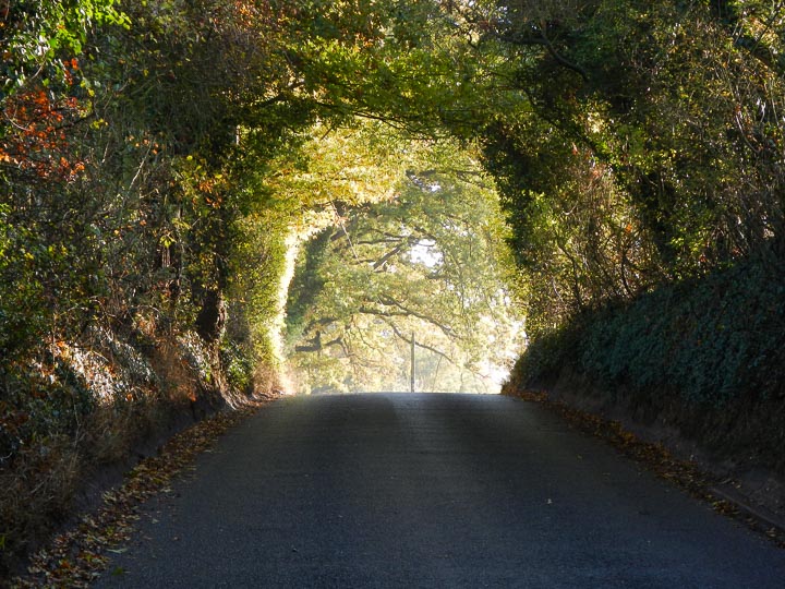
A brand new 300km event from us that heads far out into the ‘wilds’ of Suffolk, dipping a toe in the North Sea at Dunwich, and then to the civilisation that is Norfolk, before heading back to Cambridge via the ‘badlands’ of Fenlandia.
The route visits five capitals of East Anglia on its way, although the real interest is the predominance of very quiet lanes and B-roads that make up this route, taking you through some very picturesque farming landscapes of one of the most important agricultural regions of the UK, as well as visiting the Suffolk Coast & Heaths AONB.
The five – nay, eight! – capitals are:
Cambridge – The Capital of Learning – although outside the boundaries of the ancient kingdoms of Anglia, Cambridge is firmly included in the modern definition of East Anglia and is a veritable seat of learning, admired around the world. The city dates back to pre-Roman times as one of the last useful fordings of the river Cam, the university didn’t arrive until 1209, when a number of scholars faced execution in Oxford for disagreeing with the then authorities on some trifling matter, so they left to set up a rival institution, but with more agreeable rules. When governments ask “how can we have more university towns like Cambridge? what do we need to do?”, Cambridge dons chuckle, stroke their collective beards, and retort: “you need a good university … and 800 years!” Cambridge is steeped in history and tradition and well worth a visit off the bike.
Ipswich – the Capital of the ‘South Folk’ – the county seat of Suffolk (‘South Folk’), Ipswich is one of England’s oldest towns, possibly the oldest continuously inhabited, and dates back to well before Roman times. Its location on the estuary of the River Orwell gave it a sheltered port close to mainland Europe that was critical for trade from Roman times onwards. Unfortunately, the old town is mainly focused around the dock, which is a little off-route, but it’s worth a visit if you have the time.
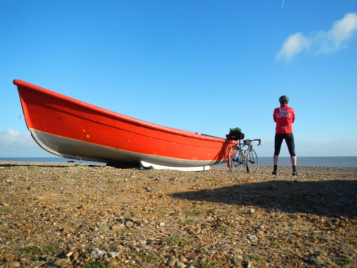
Dunwich – the Capital of the Kingdom of East Anglia – and a favoured destination for a certain overnight ride – once the largest town in England and a major trading port, storms in the 13th century dragged great swathes of the coastline under the waves, leaving behind the village we see today, population less than 100. Surrounded on all sides by Suffolk Coast & Heaths AONB, it’s a popular destination for walkers and twitchers, although the pebbly beach isn’t so good for building castles. It is said that when a storm is blowing across the sea, you can still hear the bells of the submerged church towers ringing out their sodden peal …
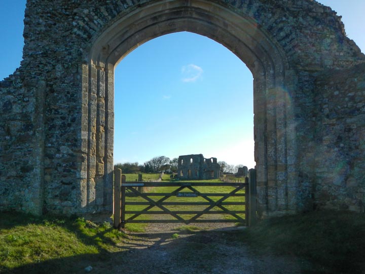
Venta Icenorum – the Roman Capital of East Anglia, displacing the Iceni tribe’s own Capital – although I mentioned Venta Icenorum in the original routesheet, I didn’t realise its fortuitous importance as the location of another capital, incrementing the count by two! Originally the capital of the Iceni tribe, once led by their irascible and somewhat scary leader (in story at least), the legendary Queen Boudicca, the historical record has it that the Iceni were usurped from their seat by the Romans after Boudicca got overly-feisty once too often, and Venta Icenorum (“the marketplace of the Iceni”) was established (although she got her revenge, some say). You can see the settlement mound on your left as you ride by and it’s probably worth a visit if ever you’re in the area sans vélo.
Norwich – the Capital of the ‘North Folk’ – the county seat of Norfolk (‘North Folk’) and sharing a common accent with the West Country for some unknown reason, oo-aar. Norwich was once the second wealthiest city in all of England, and Norfolk the most-densely populated (although that’s hard to believe these days), due to its temperate climate, rich arable farmland, and excellent access to London and Europe. Two cathedrals, two universities, a magnificent motte and keep, a plethora of medieval buildings and streets still complete and unsullied by modernity (except running water, electricity, telephone, the odd satellite dish, etc., so mostly unsullied …), this capital is said to be one of the happiest places in the UK to live and work, so possibly also the Capital of Contentment?! A very popular destination for city-bound tourists and worth coming back to.
Ely – the Capital of Religion – built around a seventh-century abbey, “the Isle of Ely” stood proud of the marshes that surrounded it, topping out at the giddy height of 26m, the highest land in the fens, and visible for dozens of miles around. The 11th-century cathedral stands proud on top and is known in these parts as ”the Ship of the Fens”. However, the city has a dark reputation: in order to gain William The Conqueror’s favour, the abbots showed his army the path through the marshes to the Isle of Ely, which was Hereward The Wake’s base, and he and his rebel army were routed. The marshes were drained in the 17th century and many of the roads now follow the compacted river beds, which rose above the rest of the land, which subsided as the water was removed. The imposing cathedral has many unique architectural attributes, but the abbey itself was dissolved during The Reformation. In 1830, William Cobbett reported that “Ely is what one may call a miserable little town: very prettily situated, but poor and mean. Everything seems to be on the decline, as, indeed, is the case everywhere, where the clergy are the masters”, although it seems to have cleaned itself up a bit since then!
And once you’ve taken all that in a-wheel, there will of course be our customary hospitality at the finish – Girton, the Capital of Ewa’s Cakes, included in the entry price.
Note: if you don’t fancy a 300km ride, CTC Suffolk is running a new 200km BRM-PBP event on the same day, starting at 8am from Debenham – [Heart of Anglia 200][19-71].
The route
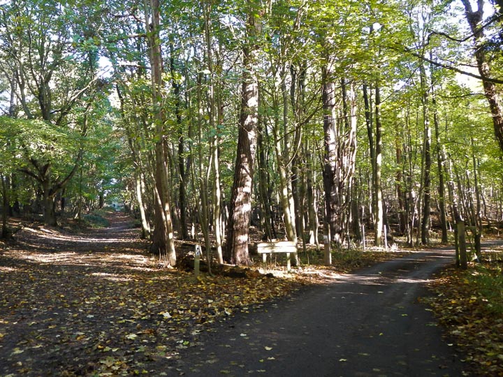
The route is a good mix of roads, mostly very quiet lanes and B-roads, with a few larger roads nearer the big towns, but all “quiet” by normal UK standards – Suffolk and Norfolk are pretty, sleepy counties!
The route starts by passing through Cambridge, which will be virtually deserted at 6am, followed by a long, but easy climb off the Cambridge Plain. The route then rolls gently, following lots of lovely lanes, to Ipswich for late breakfast.
After Ipswich the route becomes benign, heading down picturesque Suffolk lanes and quiet B-roads to the Suffolk Coast & Heaths AONB, and a visit through the fringes of RSPB Minsmere Reserve to the ancient city of Dunwich for lunch by the sea.
The route then heads back inland to Norwich, using a mix of lanes and B-roads, and spears to the centre via a converted-railway path. You may be too early for dinner here, but Watton is only a couple of hours further on and has plenty more opportunity for victuals.
A push across the Fens to the Isle of Ely from Watton involves some very flat drove lanes, arrow-straight B-roads and a drover’s crossing of the Little Ouse river for a late-evening top-up.
The final stage is flat all the way, apart from a couple of islands to cross, but should pose no problem, following Grunty Fen Lane and Twenty Pence Road back to Histon and then on to Girton, where we will be waiting to receive you back.
Important notes
- The route has changed between Feltwell and Ely – unfortunately a bridge is currently closed so the route heads via Lakenheath now (31 March 2019).
- The route crosses a number of busy roads – these are marked “Care!” on the routesheet. Bear in mind that these roads are “busy for East Anglia”, so quiet by normal standards, and that you will be crossing most of them late in the day, so even quieter than that!
- **You are expected to control in or near the centre of the larger control towns – don’t try to minimise distance by skirting around the town, your effort might not be validated if you do!
- There are SIX level crossings between Feltwell and Ely – most of you will approach these in the dusk or full-dark, so please take care, especially as two of the crossings are oblique to the road, which is the worst sort!
- The route can be agricultural in places and therefore mudguards are requested for the benefit of café proprietors and other riders – and us cleaning up the pavilion afterwards.
- This is an x-rated event — you must get five proofs-of-passage – receipts – from commercial establishments in each of the control towns/villages; note that Norwich requires a PoP from the centre of the city, near the Keep. Please check that the time and date on each receipt is correct and that the place name is clearly shown.
- You are on a private excursion on public roads. The given route is advisory.
- You should carry a lock to secure your bike at the controls.
- You will require lights.
The controls
Start and finish at the Recreation Pavilion in Girton next to St Andrew’s Anglican church on Cambridge Road, CB3 0FH, 2km northwest of Cambridge city centre.
There are five commercial controls:
- Ipswich – lots of cafés, shops, pubs, ATMs in the town centre; there is a Lloyds Bank ATM shortly after entering the town, and there’s a Premier Express just after the town centre, for those who don’t wish to visit the pedestrianised zone.
- Dunwich – There’s everyone’s favourite Flora Tearooms on the beach, as well as The Ship pub in the centre of the village, and Dingle Hill Tearooms at the nursery as you leave the village.
- Norwich – plenty of shops, ATMs, cafés, etc., in this bustling provincial city. After passing by Norwich’s magnificent motte and keep (castle), there’s a BP garage and Tesco Express just after the city centre.
- Watton – a quiet town with ATMs, takeaways, Tesco, perfectly placed for dinner.
- Ely – ATMs, cafés, shops; you’ll arrive here quite late on, so you may prefer to head through the centre, admire the cathedral, and then take your leave at the 24-hour BP garage as you exit town, and if you’re quick enough, there’s also a Burger King, although not 24-hours.
Toilets are available at the start/finish and at all the controls, or behind the many hedges along the route.
The routesheet and GPS files
There are two versions of the routesheet, depending on what you want: one has distances between instructions and holds your hand; the other contains just the turn-by-turn instructions with only as many distances as necessary for navigation and planning, as preferred by old-school audaxers: (updated 23 April 2019)
The GPS files
These are now the finalised GPS files. (updated 22 April 2019)
There are three versions of the GPS files:
- The route in one, complete part
- The route in two parts: to lunch (Dunwich) and back.
- The route in one-part-per-stage, so six parts.
And there are two formats:
- TCX – good for all modern devices
- GPX – for all devices, including legacy devices
And three different point-counts:
- 10,000 (10k) points – all modern devices
- 500 points – all modern and most legacy devices
- 250 points – ancient, “time to get a new GPS”, devices
Therefore, choose the most appropriate for your device, the actual GPS files are further down the page:
- 10k TCX – Modern Garmin Edges and Wahoo’s
- 10k/500 GPX – Older Garmin eTrex, Montana, et al
- 250 GPX – Really old, simple Garmins
Make sure you test these files out on your device before you start, to make sure the ones you’ve chosen works on your device!
There are additional notes in the organiser’s notes and routesheet, including cautions and alternative routes. It is your responsibility to familiarise yourself with the route and any reported hazards before you start, especially as none of this information is included in the GPS files!
You can also browse the route and view the elevation profiles on RideWithGPS here
Full Capitals of East Anglia 300 route in one part
It would be fairly foolish to try to navigate the whole 200km route using the 500- or 250-point files, but here you go for fun:
The course will appear as CEA300_FULL_… on your device.
The Capitals of East Anglia route in two legs, stopping for lunch at Dunwich – ‘to lunch and back’
IMPORTANT – you will require both GPS files from the ZIP file!
- To lunch and back, 10k-points legs – TCX or GPX ZIP
- To lunch and back, 500-points legs – TCX or GPX ZIP
It would be a little silly to try to navigate each 160km leg using the 250-point files, but here you go for kicks:
The routes will appear as CEA300_LEG_A_… and CEA300_LEG_B_… on your device.
The Capitals of East Anglia route in six stages
IMPORTANT – you will require all the GPS files from the ZIP file!
- Stage-by-stage, 10k-points stages – TCX or GPX ZIP
- Stage-by-stage, 500-points stages – TCX or GPX ZIP
- Stage-by-stage, 250-points stages – TCX or GPX ZIP
The routes will appear as CEA300_STG_1_…, CEA300_STG_2_…, etc., on your device.
Getting to the start
Hopefully you live close enough to cycle to the start.
Cambridge is well-served by train, although unfortunately this event starts too early to take advantage of that fact. If you do manage to find a train that arrives early enough, it’s an easy 7km ride from the station to the start through the historic centre of Cambridge – routesheet | GPX | TCX – if you use these instructions, continue past the Co-op to the start on RHS in 1km next to the church.
If you intend to drive, aim for St Andrews Church on Cambridge Road, CB3 0FH. We hope that the Parish Council will allow us to use the football field at the back of the recreation ground for parking, depending on the state of the ground – one of the helpers will guide you in. I expect we will again be asked to keep the front car park clear for visitors to the recreation ground while you’re all away cycling. Wherever you park, please park considerately.
Due to the large numbers of entrants, if you could ride to the start instead of driving, or park outside the village and ride in, that would be an enormous help!
Refreshments
Light refreshments will be available before the start from about 5.20am. There will be hot’n’cold refreshments and cake at the finish. All refreshments at the start/finish are included in the entry fee.
On completion
The arrivée will be manned, so we will collect your brevet from you on completion, along with five proofs-of-passage from Ipswich, Dunwich, Norwich, Watton, and Ely. Please remember to fill out the boxes on your brevet with establishment names and times, and sign your brevet before handing it in with your PoPs!
Have a great, safe ride! Enter this event >